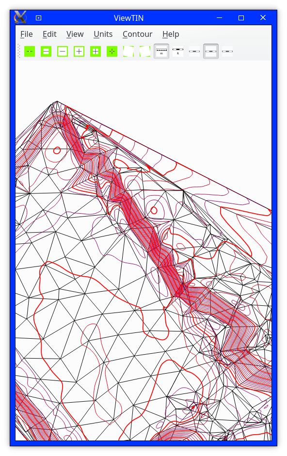
Bezitopo now has a GUI. It's called ViewTIN, as all it shows is points, a TIN, and contours, but I'll eventually rename it, once it has more functionality.
Bezitopo has two new file formats: criteria files, which tell which points to include in a topo, and type-0 breakline files, which are just the breaklines you're used to. (Type-1 breaklines will tell where one point's slope doesn't affect a neighboring point's. They're meaningless with flat triangles.)
This is a criteria file:
0,0,,,,1

0,0,,,"FH",0

1059,1059,,,,0

0,0,-3,3,,0
It is a CSV file. The first two columns are point numbers, the next two are elevations, the next is a substring of the point description, and the last is 1 to include in the topo or 0 to exclude. The elevations are in the current unit.
This is a breakline file:
213-214 #Comments begin with a number sign.
192-193 #ViewTIN discards comments on reading and does not write them.
373-372 #Lines are ordered from shortest to longest, by number of points.
241-242
652-653
657-658
1094-1081
915-1134
968-969
875-876-877
762-763-764
669-670-671
382-383-602
196-197-198
949-950-951-952
368-369-370-371
199-200-201-202
27-376-377-378
757-758-759-760-761 #This is a line of five points along the top of a wall.
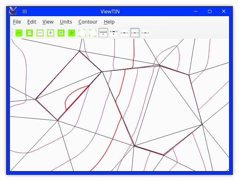
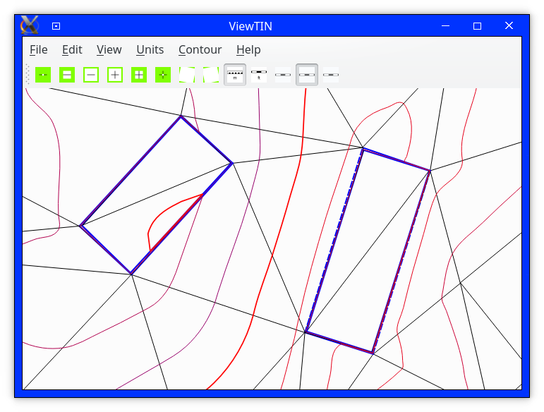
1258-1259-1261-1260-1258 #These four breaklines are the inner and outer outlines of two rectangular drain covers.
1262-1263-1265-1264-1262 #The first and last points are the same, so they are closed.
1270-1271-1273-1272-1270
1266-1267-1269-1268-1266
920-921-922-923-924
961-962-963-964-965
765-766-767-768-769-770
646-647-648-649-650-651
908-910-911-912-913-914
203-204-205-206-207-208-209
892-891-890-889-1102-1105-1089
608-607-606-605-604-603-602-615
863-864-865-867-1101-1104-1107-1108
624-637-638-639-640-641-642-643-644-645
659-660-661-662-663-664-665-666-667-668
980-982-983-984-985-986-987-988-989-990-991-992-993-994-1071-1072-1073-1074-1075
The Bezitopo source directory includes these files:
To generate contours of Independence Park:
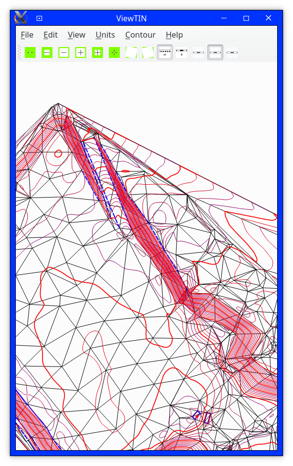
To edit breaklines:
When experimenting with different breaklines, you will generally want to draw rough contours, because it's faster than drawing smooth contours.
The other files, flattri.asc, notri.asc, and samepnts.asc, are for triggering errors in TIN generation.
Finally some screenshots of Bezitopo itself!
|
 |
 |
 |
Requires CMake 3.1.0 or later, Qt 5.x, and a C++ compiler that understands string::pop_back.
DragonFly BSD: It works on 5.0.0.
Debian and derivatives: Jessie or later. See /etc/debian_version . Ubuntu Xenial's Debian version is Stretch.